
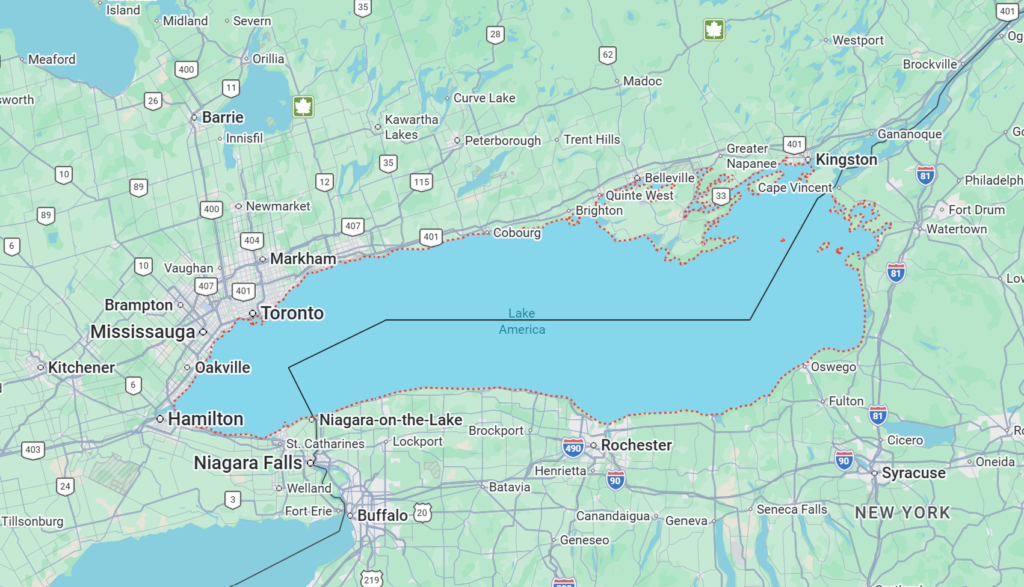
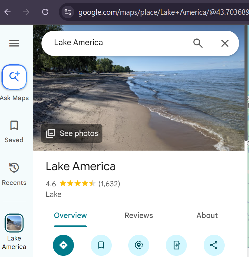
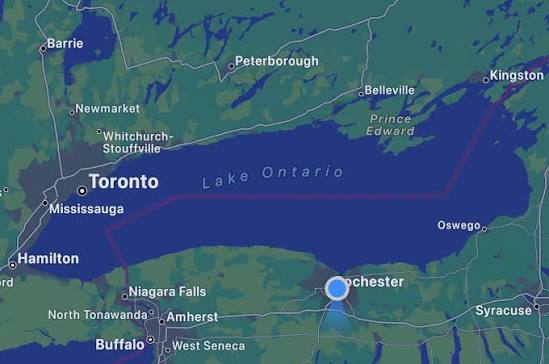
Google quietly updated Google Maps to display Lake Ontario as “Lake America” for users in the United States, the company confirmed this week, following the same policy it used when the Gulf of Mexico became the Gulf of America last year.
Why Google Made the Switch
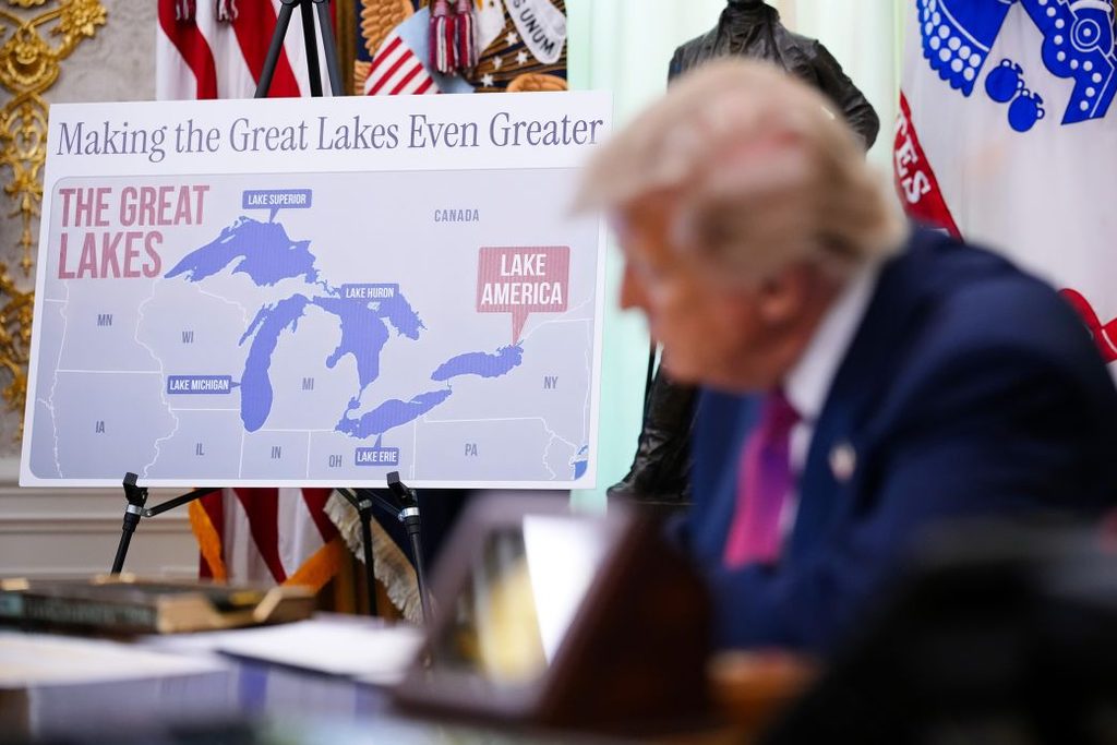
Google has said it updates Maps to reflect name changes in official U.S. government sources as a matter of longstanding practice, not a political judgment call. After President Trump’s August 27 executive order directed federal agencies to rename the lake, the U.S. Geological Survey’s Geographic Names Information System was updated to reflect “Lake America,” and Google’s Maps rollout followed on August 29.
A Different Name Depending on Where You Open the App
Because Lake Ontario straddles the U.S.-Canada border, this rename creates something the Gulf of America change didn’t: someone opening Google Maps in Rochester, New York, now sees “Lake America,” while someone opening the same app in Toronto sees “Lake Ontario,” the name the lake has carried for roughly 400 years. Users outside both countries will see both names displayed together.

Not Everyone Is Following Suit
MapQuest has said it will not be changing the name of Lake Ontario on its own maps, breaking from Google’s approach and underscoring that the rename carries no legal weight beyond U.S. federal recordkeeping, other mapmakers, Canada, and international bodies remain free to keep using “Ontario.”
Canada’s Response
Canadian officials have flatly rejected the rename. Prime Minister Mark Carney said the lake is, and will remain, “Lake Ontario, now and always.”
The Seneca Nation’s Objection
Seneca Nation President J. Conrad Seneca has called on Trump to rescind the order, saying it violates the 1794 Treaty of Canandaigua, in which the United States promised the Seneca and other Haudenosaunee nations peaceful use of their lands. New York Gov. Kathy Hochul has said the state will not honor the renaming, and Lake Ontario’s name itself comes from the Wendat word “Ontari’io,” meaning “the lake is beautiful, the lake is big.”
Related from BeezLoop: Ontario Premier Doug Ford Unveils 'Lake Ontario' Billboard to Mock Trump's 'Lake America' Order, Trump Signs Order Renaming Lake Ontario 'Lake America' Amid Trade War and Canada's retaliatory tariffs worth $27.6 billion take effect as trade rift with U.S. deepens.