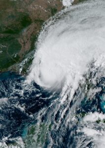

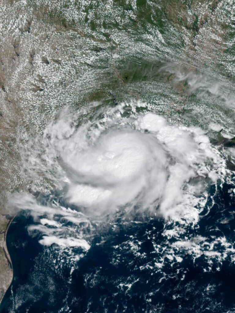
Tropical Storm Edouard came ashore near Johnson Bayou, Louisiana around 2:20 p.m. Monday with maximum sustained winds of 60 mph and gusts to 71 mph, then weakened to a tropical depression by 9:30 p.m. that same night. The system has kept dumping heavy rain and wind across southeast Texas into Tuesday, and forecasters say it won’t clear out until Wednesday night.
Where the storm stands now
Edouard’s remnants are moving slowly across the Texas-Louisiana border region, and FOX Weather reports the system is expected to keep producing bands of heavy rain as it drifts inland and gradually loses its remaining tropical characteristics. Southwest Louisiana and southeast Texas remain under flood watches while the depression works through the region.
Rainfall and flood risk
Parts of the Texas coast have already picked up 2 to 4 inches of rain, with 6 to 9 inches possible in areas north of Houston. Forecasters warn some spots could see up to 8 more inches of rain before Edouard finally dissipates, raising the risk of flash flooding on roads and in low-lying neighborhoods across the Houston metro and surrounding counties.

Wind, surge and tornado threats
Storm surge of 1 to 3 feet remains possible along the immediate coastline, and forecasters have flagged an isolated tornado risk for southwest Louisiana and southeast Texas as outer rain bands rotate onshore. Residents in low-lying and flood-prone areas are being urged to avoid unnecessary travel and steer clear of flooded roadways, since most storm-related deaths in these systems come from driving into high water.
What happens next
The National Weather Service expects the depression to continue weakening as it tracks inland, with rain chances tapering off by Wednesday night. Until then, area schools, drivers and anyone in flood-prone parts of southeast Texas should keep watching local forecasts, since rainfall totals can still shift quickly with a slow-moving system like this one.
Related from BeezLoop: A September Nor’easter Is Flooding the Coast From the Outer Banks to Cape Cod, and It…, Hurricane Lowell Weakens and Pulls Away From Hawaii After Cutting Power Across Kauai and Hurricane Lowell Makes Closest Approach to Hawaii on Labor Day, Bringing Hurricane-Force….