
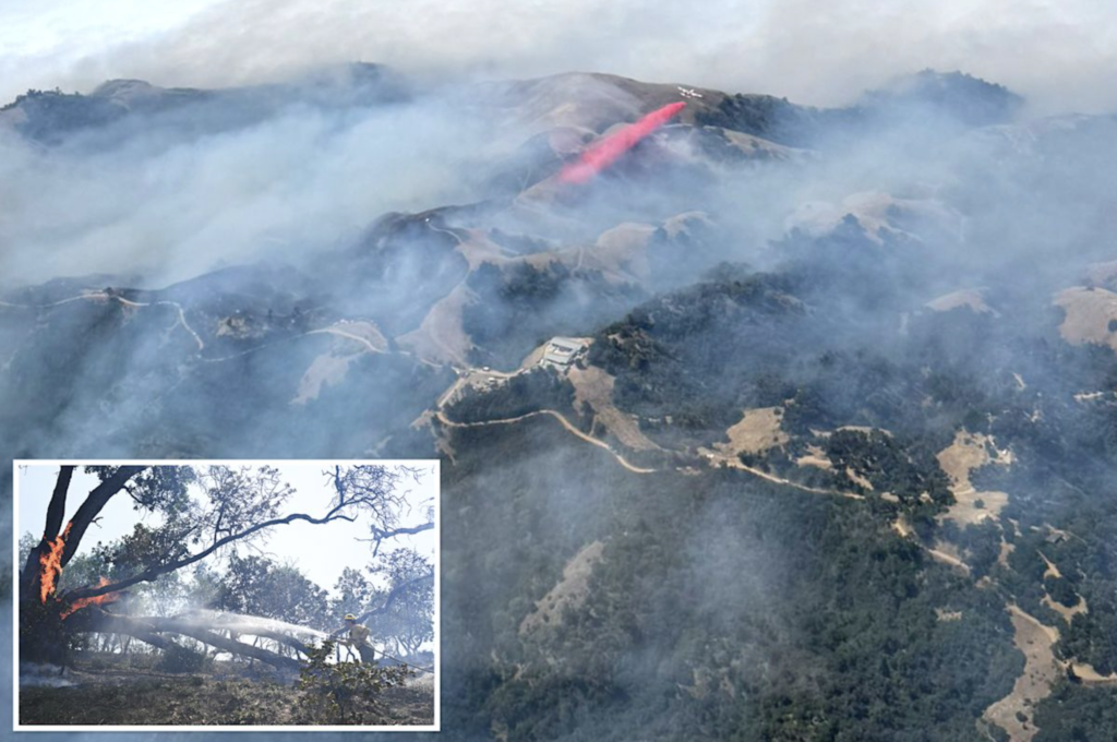
The Timber Fire burning along California’s Big Sur coast has grown to more than 25,000 acres, forcing continued evacuations in Monterey County and keeping a stretch of Highway 1 closed as firefighters battle steep, brush-covered terrain.
Cal Fire reported the blaze at roughly 24,970 acres and 21 percent contained as of this week, up from roughly 2,000 acres when it first broke out. More than 500 structures remain threatened, and evacuation orders and warnings are in effect across multiple zones in and around Big Sur.
Landmarks evacuated
The fire forced evacuations of the Esalen Institute, a well-known retreat center on the Big Sur coast, along with nearby lodges, hotels and portions of Julia Pfeiffer Burns State Park. Highway 1, the coastal route that draws visitors from around the world, remains closed between mile marker 45.1 near the Big Sur Bakery and mile marker 37 at the Julia Pfeiffer Burns State Park vista point.

No injuries had been reported as of Friday morning, according to Cal Fire, though officials cautioned that conditions remain dynamic given the fire’s growth and the rugged terrain crews are working in.
Difficult terrain slows containment
Firefighters have described the steep canyons and dense chaparral along the Big Sur coast as some of the most difficult terrain in the state to fight fire in, limiting the use of ground crews in some areas and forcing heavier reliance on aircraft. Big Sur has a long history of major wildfires, including the 2016 Soberanes Fire, which burned for months and became one of the costliest fire suppression efforts in U.S. history.
County officials have urged residents in warning zones to prepare to leave on short notice and to monitor official channels for updated evacuation boundaries as the fire continues to spread.
Related from BeezLoop: Lucas Fire Grows to Nearly 3,500 Acres Along Mendocino-Lake County Line, Forcing Evacuations, A Jury Convicted Him of Murder Without a Body and Judge Blocks Warrantless ICE Arrests Across 7 SoCal Counties.
Sources: Cal Fire · Monterey County Office of Emergency Services