
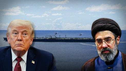
President Trump posted a map on social media this week showing the Strait of Hormuz circled and labeled as “new territory of the United States,” days after floating the idea of annexing the waterway at a campaign-style event. Trump said the US already effectively controls the strait through its ongoing military blockade and that no talks with Iran were scheduled.
The Strait of Hormuz sits in the territorial waters of Iran and Oman and carries roughly a fifth of the world’s oil trade through a chokepoint at its narrowest only about 21 miles wide. Iran’s Deputy Foreign Minister Kazem Gharibabadi responded by calling Trump “delusional,” saying “the Strait of Hormuz has been Iranian, is Iranian, and will remain Iranian,” and that Iran will continue enforcing its own blockade of the waterway as long as the US doesn’t “accept the reality of defeat.”
Why a Map Post Matters Here
Declaring territory via a social media graphic has no legal standing under international law, which recognizes territorial claims through treaties, sovereignty, and control, not public statements. But the post lands at a moment when a two-month diplomatic window between Washington and Tehran has already expired without a deal, meaning the map reads less as a literal legal claim and more as a signal of how far apart both sides remain.

What’s Actually at Stake
The practical reality behind the rhetoric is a six-month blockade that’s already straining global energy markets, regardless of what either government calls the water on a map. Whether the exchange stays confined to statements and social media posts or escalates into something with direct military consequences is the actual question this standoff turns on, not who’s technically correct about the strait’s sovereignty.
The Post Itself
The White House’s own account reposted Trump’s map directly, removing any ambiguity about whether it reflected an official administration position rather than an off-the-cuff social media moment.
Related from BeezLoop: Iran Offered to Reopen Hormuz in Seven Days, Trump Says Iran Reached Out and the War May Be Ending and Trump Told the UN He Might 'Annihilate' Iran.