

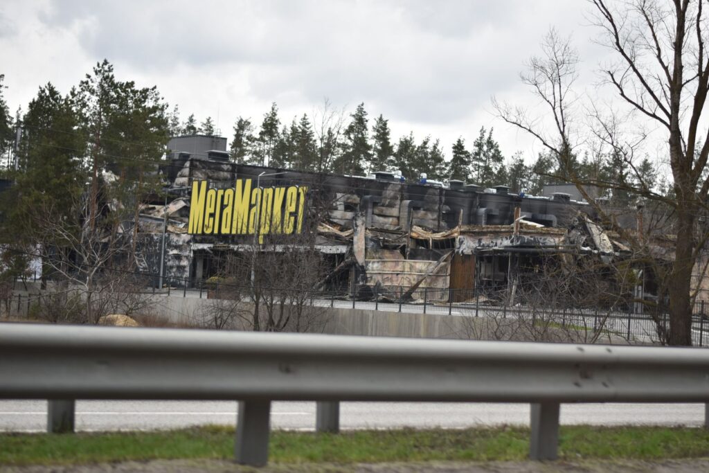
Wildfires burning across Spokane County have caused widespread destruction, prompting evacuations and leaving affected communities with extensive damage. Reports describe the aftermath as resembling a war zone, with hundreds of structures destroyed and thousands of residents forced to leave their homes.
Authorities have issued varying evacuation directives as conditions change. Some areas that were under more restrictive orders have been downgraded to Level 2, or “Be Set,” advisories, signaling that residents should remain prepared to evacuate while the fires continue to pose a threat.
The fires have drawn sustained attention from local and national news organizations, which have tracked their spread and the effects on communities across the Spokane area. Maps and satellite imagery have been used to show the extent and movement of the blazes in Washington and Oregon.
Officials and residents are confronting what has been described as a major tragedy, with the destruction of homes and other structures adding to the disruption caused by evacuations. Information about the fires and evacuation zones remains subject to change as emergency crews assess damage and respond to ongoing conditions.
Related Coverage
- Here’s what we know about all the fires currently burning across Spokane County
- Some evacuation orders downgraded to Level 2 (BE SET) for wildfires in Spokane
- Visualizing the wildfires in Washington and Oregon, in maps and satellite imagery
- 'A tremendous tragedy': thousands evacuated, hundreds of structures destroyed in Spokane Area Fires